Medina History: From Ancient Yathrib to the Heart of Islamic Civilization
Medina history is the story of how an ancient oasis town became one of the most important cities in Islamic civilization. Known before Islam as Yathrib, the city rose to global religious and historical importance after the Hijrah in 622 CE, when Prophet Muhammad migrated there from Mecca. From that moment, Medina became the center of the first Muslim community, the administrative capital of the early Islamic state, and later a lasting center of scholarship, law, and devotion.
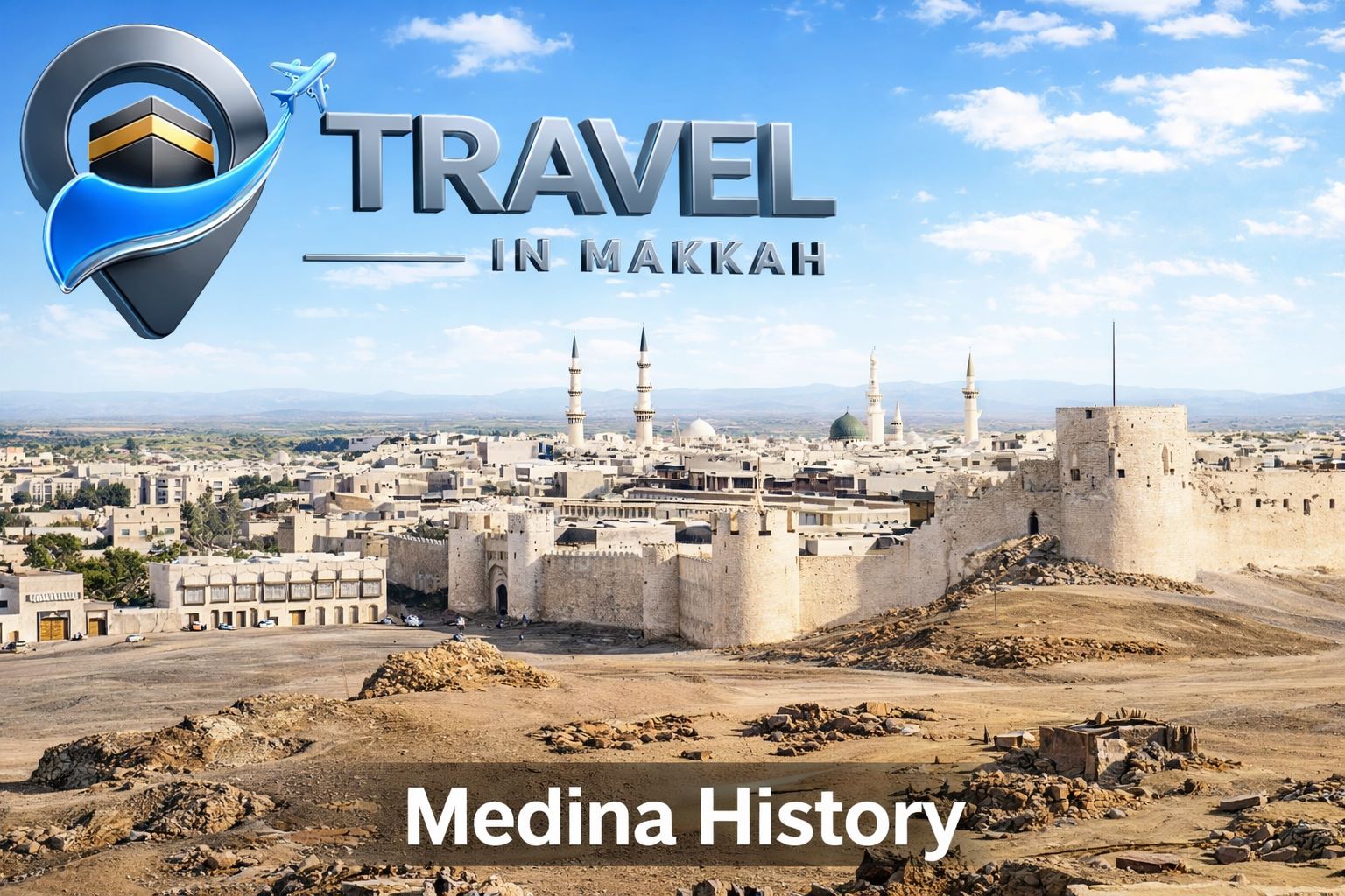
Located in the Hejaz region of western Saudi Arabia, Medina is regarded in Islamic tradition as the second holiest city in Islam after Mecca. Its importance comes not only from the presence of the Prophet’s Mosque and the Prophet Muhammad’s burial place, but also from the city’s role in shaping the political, social, and spiritual foundations of early Islam.
Table of Contents
- Medina History: From Ancient Yathrib to the Heart of Islamic Civilization
- Medina History Before Islam: Yathrib the Oasis
- The Hijrah of 622 CE: The Turning Point in Medina History
- The Constitution of Medina and the Birth of a New Political Order
- The Prophet’s Mosque and the Making of the First Muslim Community
- Major Events That Shaped Early MedinaBattle of Badr
- Battle of Uhud
- Battle of the Trench
- Pact of al-Hudaybiyyah
- Submission of Mecca
- Medina After the Prophet: Capital, Then Sacred Center
- Medina as a Center of Islamic Civilization and Knowledge
- Later Political History: Ottomans, Railway, and Saudi Rule
- Historical Landmarks That Keep Medina History AliveQuba Mosque
- Al-Qiblatayn Mosque
- Al-Baqi Cemetery
- Conclusion
- FAQ: Medina History
Medina History Before Islam: Yathrib the Oasis
Long before it became Medina, the city was known as Yathrib, an oasis settlement whose earliest history remains partly obscure. Britannica notes that Jewish settlers were present there in pre-Christian times, and that a major influx likely followed the Roman suppression of Jews in Palestine around 135 CE. By about 400 CE, Jewish groups were a dominant force in the population and development of the oasis.
Yathrib’s fertile environment made it different from many other Arabian settlements. It supported agriculture—especially date cultivation—and developed as a settled oasis community rather than a purely caravan town. Over time, Arab tribes, especially the Aws and Khazraj, came to share the oasis with older communities. But coexistence did not always mean stability. According to Britannica, Yathrib’s internal conflicts became so difficult to resolve that its people invited Muhammad to act as an outside arbiter.
This pre-Islamic phase is crucial to Medina history. It explains why the city was ready for change in the early seventh century. Yathrib was not an empty stage waiting for Islam; it was already a socially complex oasis with competing groups, agricultural wealth, and a need for a stronger political order.
The Hijrah of 622 CE: The Turning Point in Medina History
The decisive turning point in Medina history came with the Hijrah, the migration of Prophet Muhammad and the early Muslim community from Mecca to Yathrib in 622 CE. Britannica describes the Hijrah as Muhammad’s migration to escape persecution in Mecca, carried out after an invitation from Yathrib. After arriving, Muhammad negotiated new arrangements with the local clans, and the Muslim community emerged for the first time as a sociopolitical entity, not just a persecuted religious movement.
Britannica dates Muhammad’s arrival in Medina to September 20, 622, and identifies the Hijrah as the event that marks the beginning of the Muslim calendar. That single move changed the meaning of the city forever. Yathrib became Medina—the city associated with prophetic leadership, communal order, and Islamic state formation.
For any article on Medina history, this is the moment that matters most. Before the Hijrah, Yathrib was an oasis with conflict and tribal rivalry. After the Hijrah, Medina became the base from which Islam developed institutions, leadership structures, military defense, social law, and intercommunal agreements.
The Constitution of Medina and the Birth of a New Political Order
One of the earliest landmarks in Medina history is the Constitution of Medina. Britannica describes it as a document from early Islamic history based on agreements concluded between the clans of Medina and Prophet Muhammad soon after the Hijrah in 622 CE. The importance of this document lies in the fact that it formalized relations among different groups in the city and helped define the community Muhammad was building there.
Rather than describing it in exaggerated modern terms, it is safer and more accurate to say that the Constitution of Medina was a foundational civic agreement of the early Muslim community. It addressed collective obligations, conflict management, and relations among the city’s groups. In historical writing, this matters because it shows Medina not just as a sacred city, but as a place where governance and communal order were actively shaped.
The Prophet’s Mosque and the Making of the First Muslim Community
The Prophet’s Mosque stands at the center of Medina history. After the Hijrah, it became the focal institution of the new community. Saudi official sources note that the mosque was built by the Prophet and later expanded, including an early expansion in 628 CE. Over the centuries, rulers and states continued to enlarge and renovate it, making it both a historical monument and one of the most important devotional sites in Islam.
Historically, the Prophet’s Mosque was more than a place of worship. It was the center of leadership, teaching, consultation, and community life. That is why Medina history cannot be separated from the mosque: the city’s transformation into the heart of Islamic civilization happened around this institution.
Major Events That Shaped Early Medina
Several major events during the Medinan period defined the future of Islam. The Battle of Badr in 624 CE was a major Muslim victory that Britannica describes as a turning point for the early Muslim community, moving it from a defensive position toward stability and expansion.
The following year, the Battle of Uhud in 625 CE brought a painful setback near Medina. Britannica places it among the major early confrontations with Meccan forces and notes that Muhammad himself was wounded. Then, in March 627, the Battle of the Trench demonstrated Medina’s resilience, as Muhammad adopted trench warfare to defend the city against a much larger confederate force.
Another key development was the Pact of al-Hudaybiyyah in 628, which Britannica describes as a compromise that gave political and religious recognition to the growing Muslim community in Medina. This truce helped open the way for broader acceptance of Islam. In 630, after years of struggle, Mecca submitted to Muhammad, marking a major shift in Arabian politics and in the place of Medina within that wider transformation.
Medina After the Prophet: Capital, Then Sacred Center
After the Prophet Muhammad’s death in 632 CE, Medina remained the political center of the Muslim community for the Rashidun period. Britannica states that Medina was the administrative capital of the expanding Islamic state until 661, when Damascus replaced it under the Umayyads.
This shift did not reduce Medina to insignificance. It simply changed the city’s role. Politically, the center moved. Spiritually and intellectually, Medina remained one of the defining cities of Islam. That distinction is essential in any serious treatment of Medina history: the city lost imperial capital status, but it did not lose civilizational importance.
Medina as a Center of Islamic Civilization and Knowledge
One reason Medina history extends far beyond the seventh century is that the city became a major center of Islamic scholarship. Among the most important scholars associated with Medina was Mālik ibn Anas, born around 715 and deceased in 795 in Medina. Britannica describes him as a Muslim jurist who played a major role in shaping early Islamic legal doctrine.
His most famous work, al-Muwaṭṭaʾ, is described by Britannica as the oldest surviving compendium of Islamic law. That alone explains why Medina remained central to Islamic civilization long after political rule shifted elsewhere. The city preserved proximity to the memory of the Prophet, to early communal practice, and to the development of hadith and fiqh.
Later Political History: Ottomans, Railway, and Saudi Rule
Medina history also includes important later phases. Britannica notes that the Ottomans held Medina after 1517, though control fluctuated in later centuries. The city was briefly taken by the Wahhabis in 1804, retaken by an Ottoman-Egyptian force in 1812, and then passed through further contestation before eventually falling to the Saud dynasty in 1925.
A particularly important late development was the Hejaz Railway, whose main line was constructed from 1900 to 1908. Britannica explains that it was meant partly to facilitate pilgrimage and partly to strengthen Ottoman control over the region. Medina’s connection to this railway shows how the city remained strategically important even in the modern imperial age.
In the modern Saudi period, Medina has undergone major urban and architectural expansion, especially around the Prophet’s Mosque. Yet its deepest significance still comes from the layers of history beneath that modern growth: ancient Yathrib, the Hijrah, the Medinan community, the era of scholarship, and the continuity of pilgrimage and remembrance.
Historical Landmarks That Keep Medina History Alive
Several sites preserve Medina history in visible form. Quba Mosque, according to official Saudi sources, is regarded as the first mosque built in Islam, constructed in 622.
Al-Qiblatayn Mosque is historically associated with the change of the qibla, and Saudipedia states that its first construction dates to the second year after the Hijrah.
Al-Baqi Cemetery is the oldest and largest cemetery in Medina and has served as the city’s main burial ground since the time of the Prophet, according to Saudipedia. It contains the graves of many companions and members of the Prophet’s household.
Together with the Prophet’s Mosque and the sites associated with Mount Uhud and the Battle of the Trench, these places make Medina history tangible. They are not merely tourist landmarks. They are physical reminders of the city’s transformation from an oasis settlement into the living heart of Islamic memory.
Conclusion
The real power of Medina history lies in its continuity. Medina began as Yathrib, a fertile oasis with competing communities and unresolved conflict. It was transformed by the Hijrah in 622 CE into the center of the first Muslim community, became the capital of the early Islamic state, and endured as a center of law, learning, and devotion long after political authority moved elsewhere.
That is why Medina is not important only because of one event, one mosque, or one period. It matters because its history connects pre-Islamic Arabia, prophetic leadership, state formation, legal scholarship, pilgrimage, and modern Islamic identity in a single city. For readers searching for “Medina History,” that full arc is what makes the subject so compelling.
FAQ: Medina History
What was Medina called before Islam?
Before Islam, Medina was known as Yathrib. Britannica notes that its earliest history is obscure, but Jewish settlers were present there in pre-Christian times, and the oasis later included Arab tribes such as Aws and Khazraj.
Why is the Hijrah so important in Medina history?
The Hijrah in 622 CE marks the moment when Muhammad and the early Muslims moved from Mecca to Yathrib, escaping persecution and establishing the Muslim community as a sociopolitical entity. It also marks the start of the Islamic calendar.
What is the Constitution of Medina?
The Constitution of Medina was an early document based on agreements between Muhammad and the clans of Medina soon after the Hijrah. It helped organize the city’s new communal order.
When was Medina the capital of the Islamic state?
Medina served as the administrative capital of the expanding Islamic state until 661 CE, when Damascus became the capital under the Umayyads.
Why is Medina important in Islam today?
Medina remains central in Islam because it is home to the Prophet’s Mosque, the burial place of Prophet Muhammad, and several of the most important sites in early Islamic history, including Quba Mosque and Al-Baqi Cemetery.
Visit our home page
Written by
Travel in Makkah
Sharing insights about pilgrimage, spiritual journeys, and sacred travel experiences.